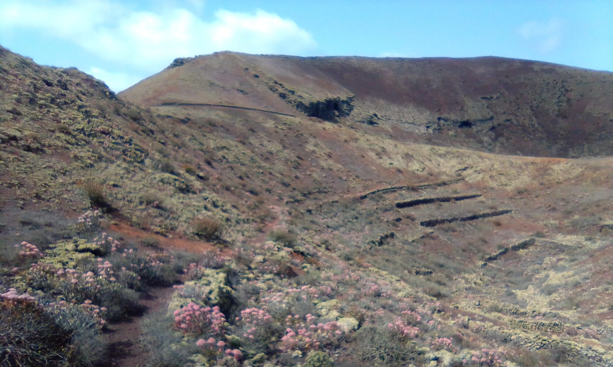
The Montaña Tinache Circle walk is a fairly easy walk, but some of the paths are quite narrow. The route is easy to follow and takes between 2 – 3 hours depending on water breaks and photo ops.
At the start of the walk you gradually climb up to the lowest part of the crater rim. Look out for the old abandoned pipework and water cisterns. To the eastern side of the old water storage tanks is a small path that leads around the outside of the volcano.
The path follows the route of the old water distribution pipeline. In places you can see the remains of the old pipe work and distribution nodes. Note how the channelization keeps its level as you circle halfway up the volcanic cone. As the path winds around the views gradually change from Mancha Blanca to Tajaste and then to the outskirts of Tinajo.


As you continue around the base of the volcano you find another abandoned water cistern. You can see here where they marked the water depth on one of the pillars, together with a date of 1929.
Click the button below to open a full description of the walk in a new tab.
Montaña Tinache Circle- History
To read more on the history of the area you can checkout the following sites Tajaste and Tinajo.
The sites are in Spanish, so if it helps I have made an attempt to summarise a few topics of interest in the History section.
Click to leave a Google Review

