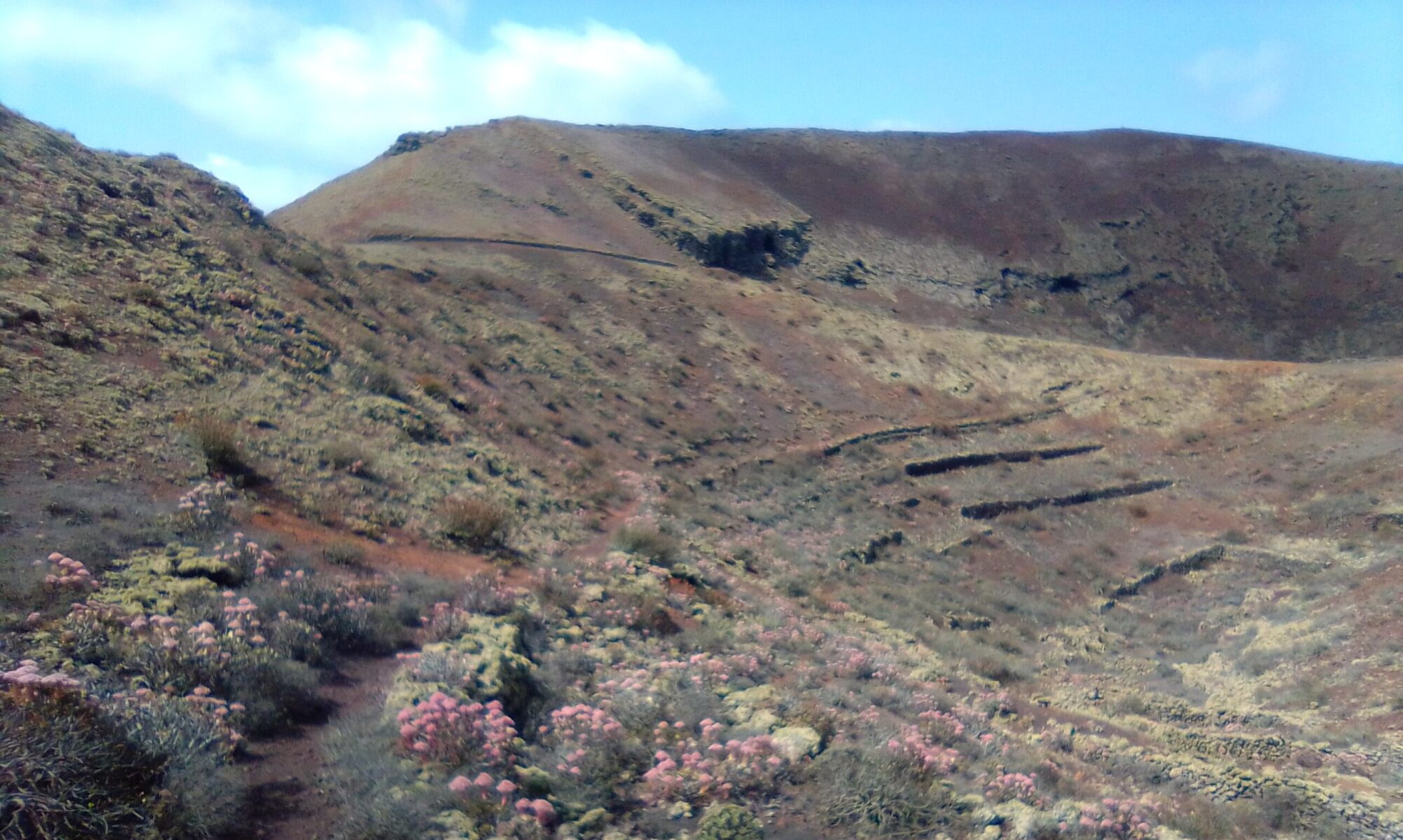
The Tenegüime LHS walk is about 7km and usually takes between 2 and 3 hours depending on breaks and photo stops. The walk treks through the left hand branch of the Tenegüime ravine and can be a bit of a scramble in places. The path is mostly well marked, but may be a little tricky through the ravine itself and the ascent the top. If in doubt follow the freshest mountain bike tracks.
Once at the top you can make a short detour to Restaurante Mirador de Los Valles for a spot of lunch or simply a coffee and a cake. As the name suggests, the restaurant its self offers some cracking views.
Click the image above to open the area in google maps in a new tab
Directions
Follow the LZ-1 out of Arrecife, right at the round-a-bout in Tahiche. Continue on the LZ-1 past Costa Teguise and take the exit for Guatiza. Take the first left off Av. Garafía onto Av. Alfonso Tolosa. Continue until the junction with the LZ-405, turning right and parking at the Guatiza Cemetery (Santa Margarita).
The Walk
Find the small path behind the cemetery at the north east corner. Follow this path north up the hill, the Teneguime ravine gradually opens on your right hand stide. Once on the top lip of the ravine, bear left and look for a track passing behind the small hill on your left. The Tenegüime ravine has two branches that forms a rough letter ‘Y’. for this walk we want to follow the left branch (as you face north).

You are looking up to into a shallow ravine. The wind turbines are to the right and the deep RHS Tenegüime ravine is behind you. Make your way into the ravine, the cycle tracks are on the left bank.


You will start to see lava stone walls built at the bottom of the ravine and terraces on both the left and right flanks. These serve to slow rain water runoff and trap sediments behind the walls. Slowing the runoff in this way allows more of it to reach the water table and be available for crops and wells.

At the head of the ravine follow the track as it zig zags its way up the wall of the ravine. On the way you pass the ruins of an old farm building built into the side of the ravine wall.
Throughout the trek, look out for fennel, juniper, shrubby chrysanthemum, verol, tabaiba, rabbits, lizards and red legged partridge.


The path eventually pops out onto a mountain road, Right will take you to the Restaurante Mirador de Los Valles. Left starts your descent along the ridgeway back down to the LZ-405.

Turn left onto the LZ-405. You can simply follow this country road back to the Santa Margarita Cemetery car park. There is a short cut however, just past the farm and olive grove on the right. As the road makes a left, look for a small path that leads straight down to the cemetery past the Guatiza Water Depository.
Tenegüime LHS – History
To read more on the history of the area you can checkout the following sites:
The sites are in Spanish, so if it helps I have made an attempt to summarise a few topics of interest in the History section. For instance, did you know that Guatiza isn’t where it used to be and isn’t what it used to be called.
Other walks in this area are Guatiza Montaña Calderetas, Guatiza, Los Valles & Majon, Teneguime 1 & Teneguime 2


