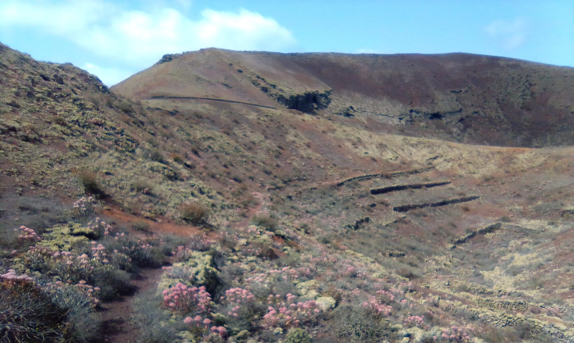
The Montaña Blanca circular walk is about 5km and took me about 3 hours with photo ops and water breaks. The initial ascent is quite steep, it starts off as a good dirt road, but the final section is very steep and loose gravel under foot. The descent is a narrow path, a little awkward in places, but no real dramas. I would however recommend a walking pole for the down hill sections. The route is mostly well marked with San Bartolome trail markers and GR-131.
Directions
Follow the LZ-2 out of Arrecife, past the Airport and take the first right signposted for San Bartolome. The slip road bring you on to the LZ-35. Continue ahead taking the first exit at the mini round-a-bout. After about 2.7km, there are two dirt tracks, left and right. There are two ‘No Over Taking’ signs either side of the road. In the distance there is a ´Sharp Bend’ and ‘Chevron’ signs. This is where I park on the left. If you miss the parking spot, just carry on to the next round-a-bout, 700m and try again.

Click on the map image above to open a Google map of the area in a new tab.
The Walk
Head up the dirt track towards some ramshackle buildings on the right. The track bears right hugging the shoulders of the mountain. As you ascend there are good views back to the coast and down into the village of Montaña Blanca. At the Water Depository the path becomes steeper as it zig zags up the mountain side.
Eventually the path reaches the lip of the crater bowl. There are some great views from here. There is a path that starts on the left and goes round the inside of the bowl, crossing round to the outside as it ascends to the Base Transceiver Station. It was quite windy the day I made the walk so I didn’t chance that section.
After admiring the views the path continues past the small stone building and edges round and back down. This is where I recommend the use of a walking pole for that little bit of extra balance. The path starts off quite gentle, but then becomes steeper as it zig zags down.
At the bottom of the path, turn left onto Calle el Especiero and climb to the top of the pass. The path joins Camino La Degollada and continues round the mountain. You pass a smallholding with (at the time) a few old push bikes rusted into the fence. Continue ahead till the road takes a sharp right turn down hill.
Here you want to go off-piste, around the shoulder of the bluff. There is a faint track to follow, but generallyhead for the electricity pylon until you cut across a rough dirt track going up the hillside. You don’t want to follow this track too far up hill, if you walk over the bluff you see a small path heading into the corner of the barranco ( small ravine). Here you pick up the trail markers again.
If the off-piste section sounds too confusing, simply follow Camino La Degollada all the way to the bottom. Turn left onto Camino La Vega and then left again at the Old Aljibe (old water cistern). You are now walking back up the mountainside. Keep the view down into the ravine on your right and you once again pick up the trail markers.
You are now walking on top of an old water system, heading up and around the mountain. Keep following the marked trail until you arrive at the old cisterns and sluice gates. There used to be an information board here, but at the time of my walk it was broken.
The sluice gates used to control the flow of water from a water gallery and collection channels cut into the mountain side. From here the path continues round and down the mountain. You then have a short walk alongside the LZ-35 back to the start.
To read more on the history of the water cisterns in the area, you can check out the following site:
The site is in Spanish, so if it helps I have made an attempt to summarise a few topics of interest in the History section.


