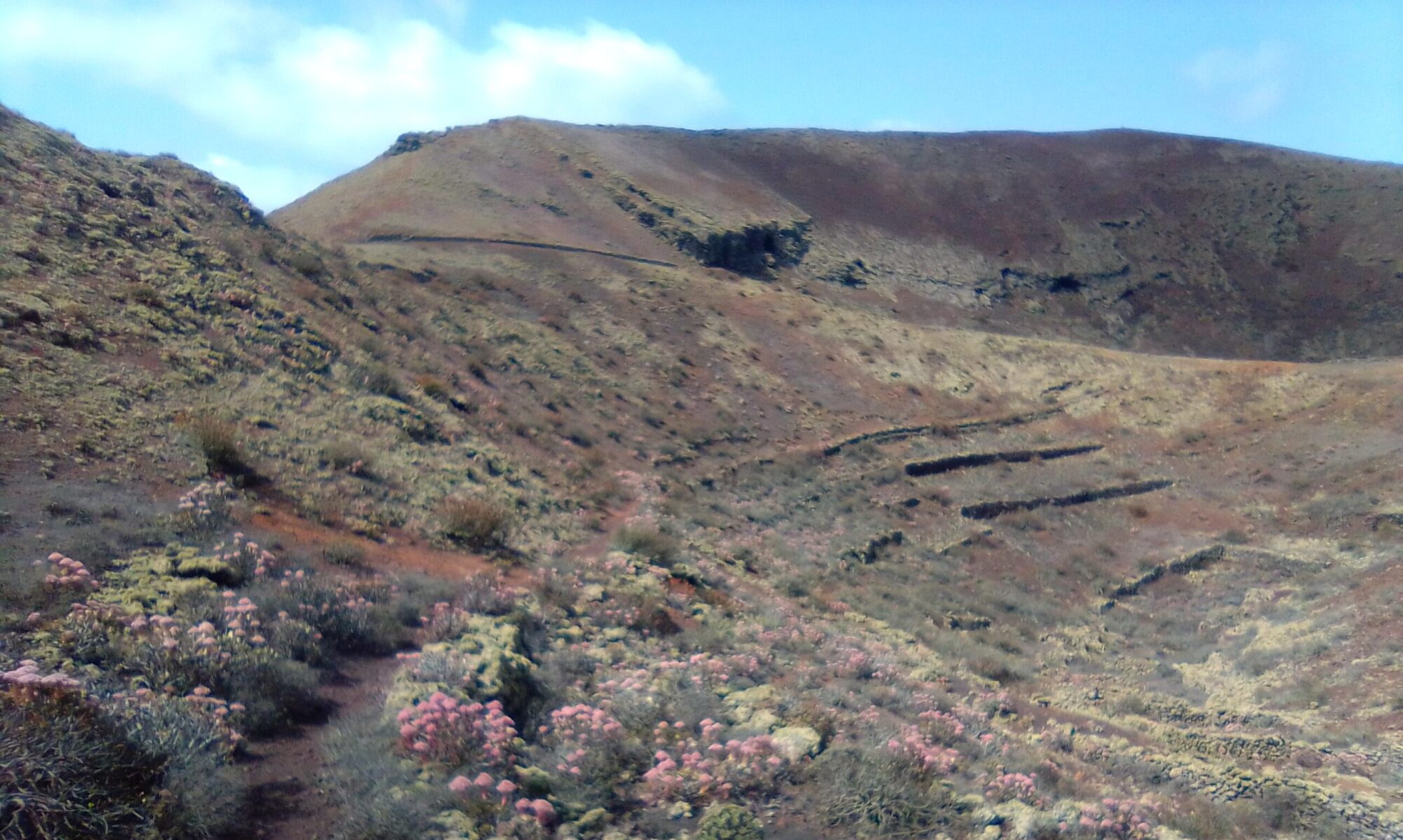
The Barranco de Manguia walk is about 2.5 – 3 hours (7.5km) depending on breaks and photo stops. The route is well marked and consists mostly of dirt tracks and mountain roads. The walk ascends from the valley floor up onto the Calle Gadifer de la Salle at Pico de Maramajo (450m).
Directions
Follow the LZ-10 east out of Teguise. After about 3km, on a sweeping curve, the road crosses Barranco de Manguia. There are a number of intersecting dirt roads and farm tracks to park, just be careful not to block any access.
Click on the image above to open google maps in a new tab for the area of interest.
The Walk
Make your way to the Barranco where the small farm lane and the curve in the LZ-10 forms an Ox-Bow. Follow the small path / bike trail north , passing an old farm on the left, ascending to a dirt road Calle Arminda. Here you have views down into Los Valles and the surrounding area.


The dirt track comes out on to a tarmac road. Keep following Calle Arminda as it turns left at a couple of houses and starts ascending to Calle Gadifer de la Salle passing a small goat farm on the right. At the top, Pico de Maramajo you have panoramic views over towards Soo and back along the track to Ermita de Las Nieves.


Follow the mountain road SW back towards Teguise. As the road makes it descent, there is a small holding on a curve on the left. Turn left here onto a bike track and follow along the boundary wall.
The trail now descends into Barranco Manguia, coming out at some old farm ruins with quite an impressive set of Aljibes. From the ruins it is a short hike back to the start.


Barranco de Manguia – History
To read more about the history of Teguise and the surrounding area, click here. To check out the history section on this site click here.


