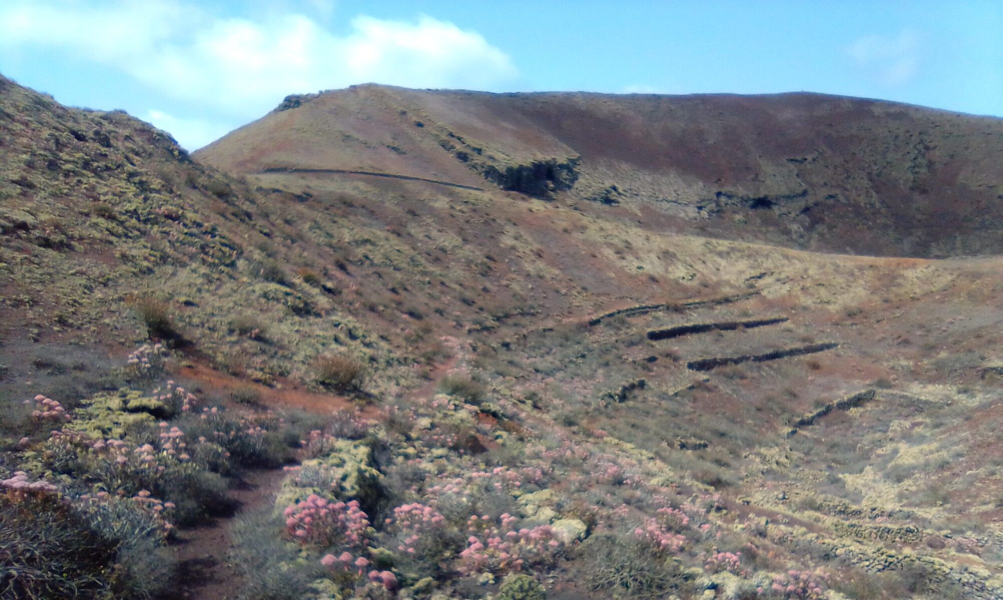
The Famara Teguise Circle takes about 3 – 4 hours, between 11 and 15 kilometres. The first leg of the walk is a good climb from Las Laderas at 76m to Morro Alto at 325m. The path is well marked, but there are a couple of steep sections. Although the path is narrow throughout the majority of the ascent, there are however lots of places to take a rest and admire the view.
Directions
Take the LZ-402 off the roundabout south of Teguise for Famara. I parked as the main road meets the dirt road LZ-403.

Click on the map above to open a google maps view in a new tab.
The Walk
The Famara Teguise Circle starts as a gentle amble along the LZ-403 dirt track heading towards the coast. After about 10 minutes, just past a small holding on the right hand side you see a signpost for Morro Alto.
The first part of the ascent is quite gentle, following the lip of a barranco on the right hand side. At the head of the barranco, the path crosses over and the path narrows. The mountain side is now to the left with sharp drop offs to your right. This narrow path winds in and out of the various mountain folds as it makes it’s ascent. There are a couple of steep sections, but also good resting spots. The views are impressive wherever you look, whether it is straight up a steep mountain fold, out over the expanse of El Jable or the views towards the sea and Famara.
At the top we find the twin to the signpost at the bottom, declaring your successful ascent of some 325m. Time for a breather!
At this point we have reached a crossroads, with the sea behind you, the path left makes another ascent up onto Calle Gadifer de la Salle, the mountain road between Teguise and Las Nieves. Immediately to the right, the path ascends up on to La Montaña, which again leads to Teguise.
For me however, enough climbing for one day, I follow the path straight ahead, down the gentle slope to the dirt road in the bottom of the valley. Follow the valley floor all the way back into Teguise, coming out by the football stadium.

Click on the map above to open a google maps view in a new tab.
Walk along the front of the stadium and continue on into Calle Jaime Balmes. Turn onto Calle Damasco and then right onto Calle Relámpago and almost immediately right again into Calle Guincho. Follow this road out of town until it becomes the LZ-403 dirt track.
On your right you see the old lime kilns, Caleras de Teguise. A little while later the track takes a sharp right turn and you start long gentle descent back to the start. Along the way you pass the old pumping station and water line which used to carry water from the galleries underneath the Risco de Famara to Teguise and on to Arrecife.
For other walks along the old water line route check out:


