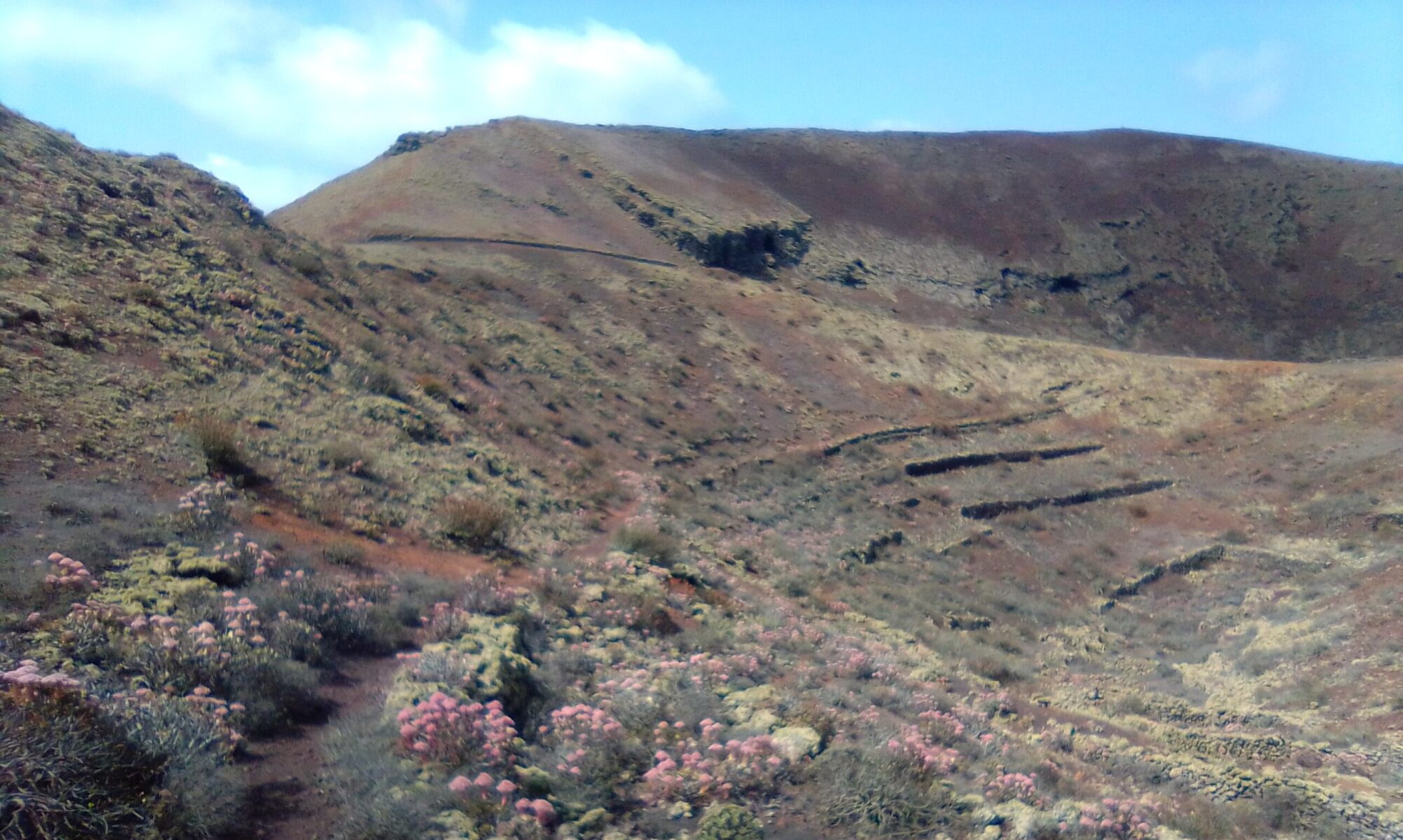
Barranco de Elvira Sánchez is a circular walk of about 3 – 4 hours, between 7 and 10km depending on route. The hike up the Barranco itself is quite steep, but there are plenty of places to stop and admire the view. The way back down is via part of the GR-131 Camino Natural de Lanzarote, a little steep in places, but much easier to descend than the Barranco.. There is the Restaurante Los Helechos for a coffee / lunch about half way round and after that it’s down hill all the way back to the start.
Directions
Follow the LZ-1 north, past Guatiza, Mala and take the LZ-10 at Arrieta for Haria. In the village of Haria, pass the cemetery on the left and follow the signs for the Football Stadium. As you cross into Calle Elvira Sánchez, park in any of the available parking bays. If full carry on to the stadium and park there.

Click on the map images above to open a Google map of the area in a new tab.
The Walk
We start the walk at the football stadium. There is a path between the stadium and the school that heads straight up towards the head of the valley (Calle César Manrique). At first this is a track, later a narrow path that follows the course of the barranco, fields and small holding to both left and right.
Eventually the path crosses a dirt track and from here the path gets a little steeper as it winds and zig zags to the top. Near the top there are some old Aljibes to explore before crossing another dirt road.
Barranco de Elvira Sánchez – History
To read more on the history of Haria you can check out the following site:
The sites are in Spanish, so if it helps I have made an attempt to summarise some salient historical events in the History section.


