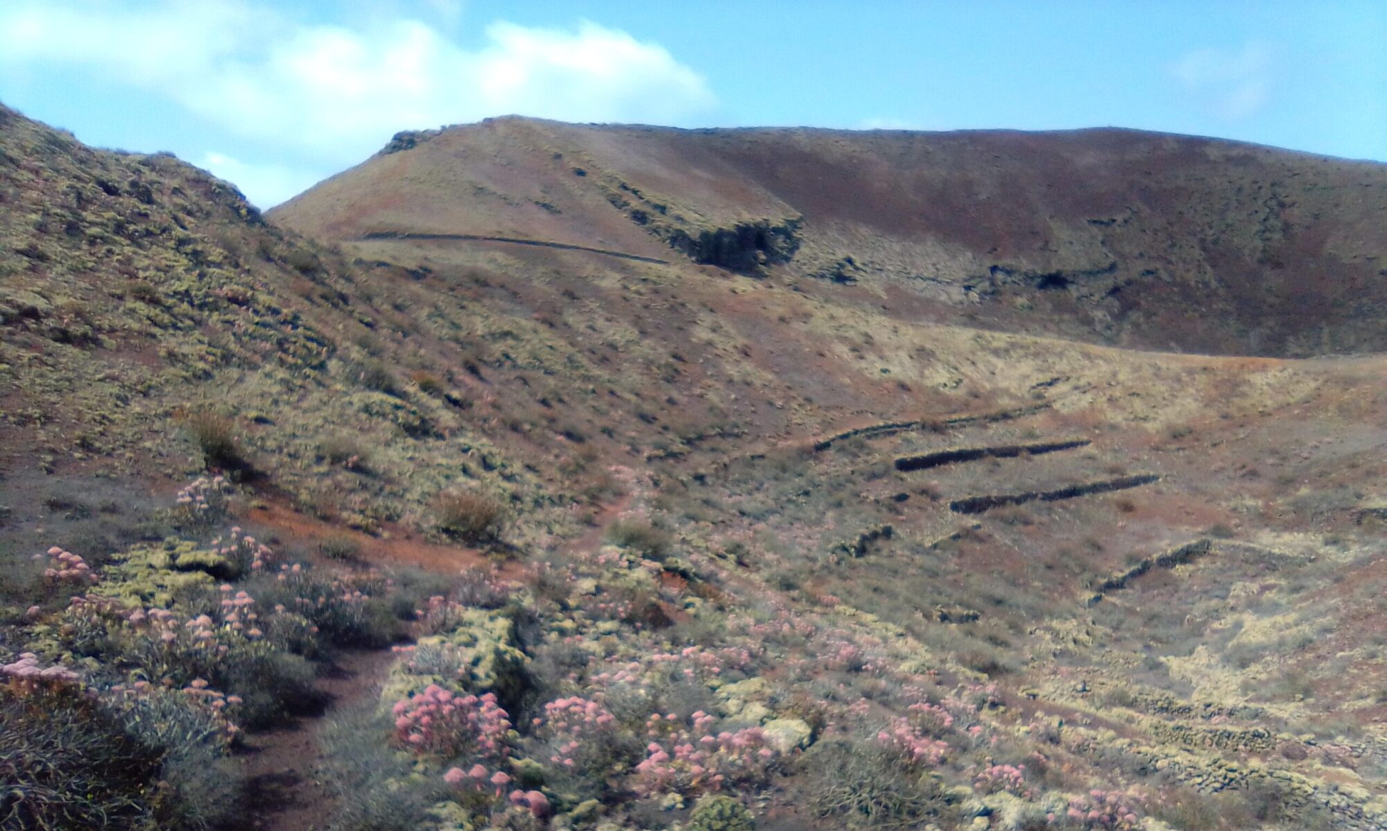
Caldera Santa Catalina has a few gentle climbs, but good well marked paths. With photo stops and a tea break it usually takes me between 2 – 3 hours depending on the parking spot. There are two coffee / lunch options here, the Asador Grill Tinguatón or the Teleclub de Masdache.
Directions
Follow the LZ-30 from Teguise, straight over at the Casa-Museo del Campesino round a bout heading down through La Geria for Masdache. Once through the village take the next turning on the right for Tinajo, LZ-56. After about 5.5km you see a car park on the left, Parque Natural De Los Volcanes, Just before the village of Tinguaton.
This is a good parking spot for a number of walks and off road cycle routes. Parking here yields a walk of about 9.5km (parking spot 1). You can knock 4km off this if you take the dirt track towards Montaña Los Rodeos and park at its base (parking spot 2).

Click on the map image above to open a Google map of the area in a new tab.
The Walk
This walk has two potential parking spots, spot 1 being the longer of the two walks, but involves retracing ones steps a little.
Parking Spot 1
Head south west along the dirt track from the official car park. You are walking alongside the base of Montaña De Los Rostros. After about 15 minutes or so the track turns almost due south away from Montaña De Los Rostros and heads directly towards Montaña Los Rodeos. About 2km from parking spot 1 you come to the base of Montaña Los Rodeos and parking spot 2.
Parking Spot 2
My preference is left here taking a clockwise route around Montaña Los Rodeos and following the gentle climb up on to it’s shoulders.
From here continue ahead south west over the loose picón and back down slightly to the base of Caldera Santa Catalina. Follow the path around and up the slope to the western side where you will find a short steep ascent to the lip of the caldera. The views here are stunning and it it worth taking a moment to simply admire what mother nature has created.
I don’t venture down into the crater or walk round the rim out of respect for the untouched beauty of the area and to disturb the wildlife as little as possible.
After enjoying the views from the lip of the caldera, make your way back down the path and continue in a clockwise direction. You soon start to descend and at the bottom continue ahead until once again you pick up the dirt road at the base of Montaña Los Rodeos. Follow this track all the way round heading roughly north until you come back to parking spot 2. For parking spot 1 simply retrace you steps towards Montaña De Los Rostros.
Caldera Santa Catalina Detour
If you wish to extend the walk a little or substitute this section for the caldera, then take a look at the following map and note the trail marked in yellow.

It’s a simple there and back again to the summit of Montaña Los Rodeos. The path is quite steep in places and it is mostly loose picón, but well worth the effort for the panoramic views.

If you like a challenge, see if you can find the mulberry bush, if it’s early June you should spot the berries.
Other walks in this area are:
Caldera Santa Catalina – History
To read more on the history of the area you can check out Santa Catalina. The link opens a new tab and tells how the village of Santa Catalina was buried by the 1730 eruptions and how the inhabitants either fled to Fuerteventura in small boats from Playa Blanca or headed into the north of the island and settled in the area now known as Los Valles.


