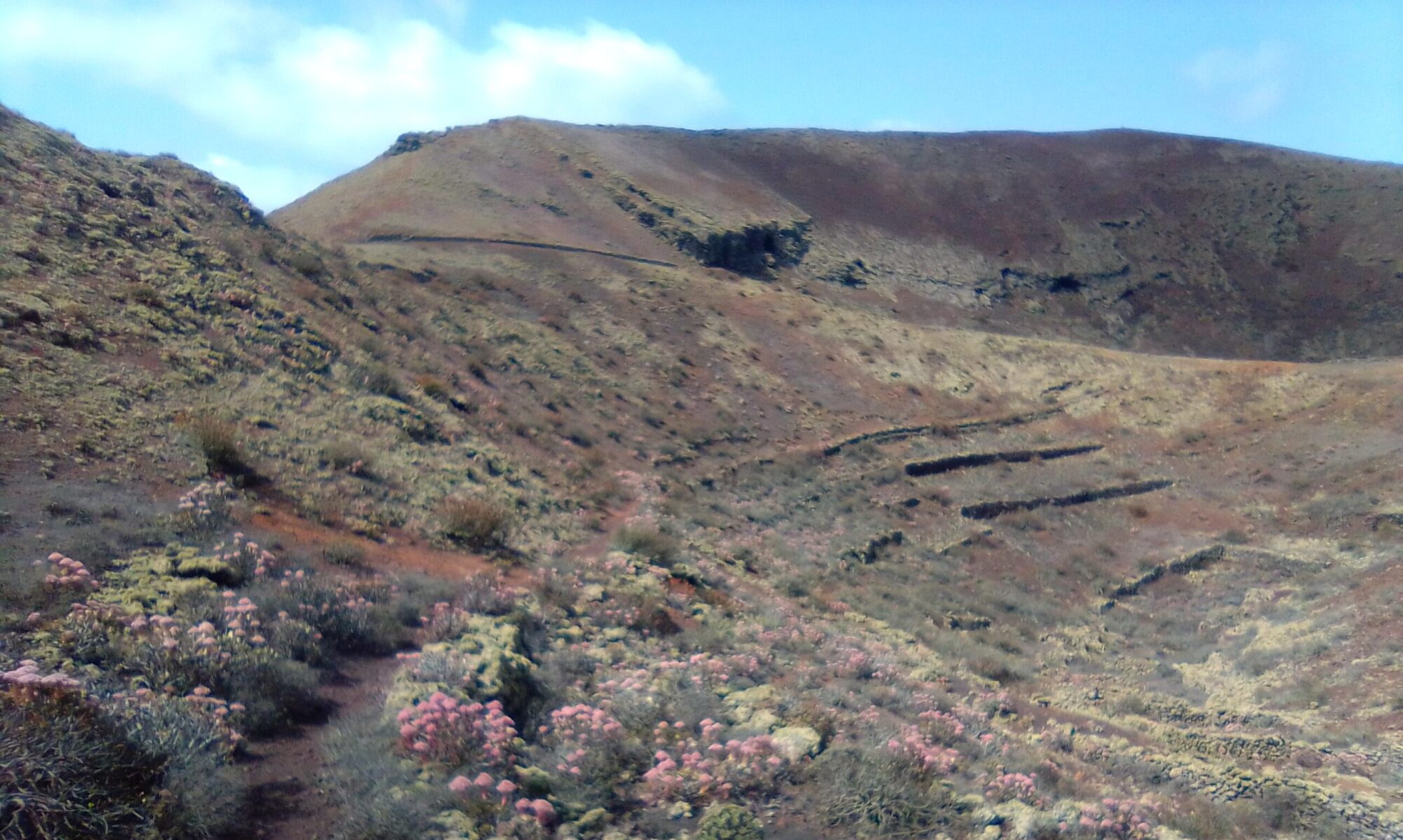
The Teguise 3 walk is mostly a fairly easy walk however the short section to the glider take off zone is quite steep. To avoid the short but steep climb, the walk can be extended slightly to Calle Morales Lemes, which offers a longer, but gentler route back to the starting point. Note the blue dotted line on the map below.
The section of the route that follows the old water pipe line is often used by mountain bikes and is quite narrow in places, so be prepared to stand aside and let them pass. This section is also not an officially marked trail, so use your own judgement. You can miss out the water pipe line section completely by taking Calle Malvarosa just after the Lime Kilns. Note the yellow dotted line on the map below.
Directions
Take the LZ-1 from Arrecife and then follow the LZ-10 for Teguise. In Teguise itself, take the LZ-30 for San Bartolome and follow through the village. I park opposite the Cepsa garage on the LZ-30, just south west of the village of Teguise.

Click on the map above to open a google maps view in a new tab.
The Walk
Follow Av. de las Amapolas. After 15 minutes or so it turns into a dirt track as you start to leave the village behind. The road becomes Calle Guincho LZ-403, the old disused road to Famara.
As the view ahead starts to reveal the expanse of El Jable, to the right, on the shoulders of La Montaña you can see the ruins of several Lime Kilns.
After the Lime Kilns on the left the road is joined by Calle Malvarosa, which you can take to complete a rather short circular walk (the yellow dotted line on the map), but missing out the old water pipe line section.
If not taking Calle Malvarosa continue along the the old disused road. After a sharp right hand bend, the road slopes gradually down to a series of switch backs. Along this section you have views out to El Jable and down on to the route of the old water pipe line, now an unofficial mountain bike trail.
After the first switch back there is a dirt track up to the old pumping station for the old water line. The water was extracted from galleries driven into the Famara Massif and carried via the aqueduct at Nazaret, across the lava field between Nazaret and Tahiche and on to the large Aljibe across from the barracks in Arrecife. We cross the lava field between Nazaret and Tahiche during the Zonzamas Nazaret Circle walk.
Follow the track back towards Teguise, look out for where the old pipe line has been exposed. At the Glider zone you have a choice of simply turning left up the hill to the Glider take off area. Left at the top and follow the wall round to the right until you join Calle Malvarosa. Turning right onto Calle Malvarosa brings you back to Av. de las Amapolas and the Cepsa garage on the LZ-30.
Alternatively, continue ahead to join Calle Morales Lemes (the blue dotted line on the map) which turning back towards the village brings you back to Av. de las Amapolas and the Cepsa garage on the LZ-30.
To read more on the history of water or the Lime Kilns on Lanzarote you can checkout the following sites:
These sites are obviously in Spanish, so if it helps I have made an attempt to summarise the salient historical events in the History section.


