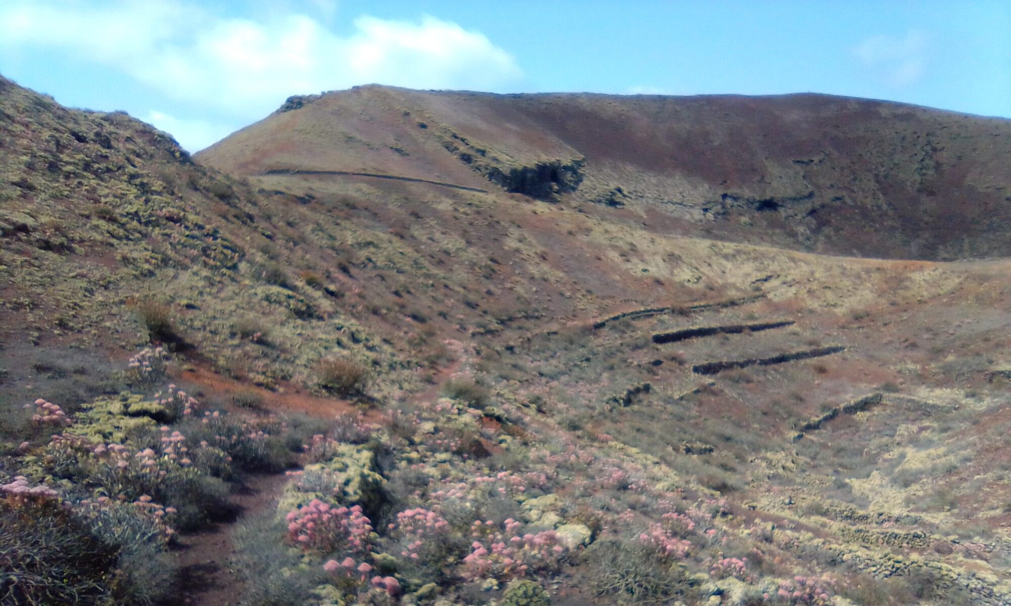
The Risco Salinas Trail is about 10km and the ascent back up the Risco path is a bit of a slog. The views however are amazing, the beach is beautiful and the hike round the Salinas itself is really interesting. Recommendations for coffee or lunch options are in the village of Yé at Restaurante Volcan de La Corona.
Directions
Follow the LZ-1, north out of Arrecife and take the first exit at the Tahiche round-a-bout. Continue along the LZ-1, past Costa Teguise, Guatiza, Mala and Arrieta. At the Punta Mujeres junction, continue ahead on the LZ-201 for the village of Yé. Through the village, past the church and take the right by the bus stop, sign posted for Mirador del Río. About 520m take the track on the left for Aparcamiento Las Rositas and find a parking spot.

The Walk
Walk away from the road and take in the views from the top of the Risco looking over to La Graciosa and down to the Beach and Salinas. The path is well marked and well trodden albeit a little awkward under foot in places.


As you near the bottom the path gradually levels out until you reach the sand dunes and finally the beach. The old salt works or Salinas is over towards the right hand side of the beach. Once past the Salinas you can admire the sweeping views of the Risco as you look on towards the most northerly point of Lanzarote.


Salinas del Risco – Salinas del Rio
These are the oldest salt flats in the Canary Islands dating back to 1520 and were in operation for around 450 years. The salt, however, still accumulates naturally, with its intense white colour, combined with the pink tones of the “cookers” (evaporating ponds) that the tide continues to fill. A visual spectacle at the foot of the Famara cliff.
However, there is evidence that the area was already used by Romans or even Phoenicians, which can be supported by the discovery of apparently Roman amphorae in the area.
Several decades have passed since these salt flats fell into disuse, abandoned to their fate. Also the warehouse next to them that was built at the end of the 19th century.
The Eighth Island
Out to sea you are looking across the “Rio” towards La Graciosa. The Rio being the local name for the stretch of sea separating Lanzarote from La Graciosa. It is across this strait that the women of La Graciosa travelled daily with baskets of fish on their heads to exchange for farm products and other necessary items.

The beach here is truly idyllic, golden sands, turquoise waters and for the most part, deserted. So if you’ve forgotten your bathing costume and you fancy cooling off in the sea – don’t worry.
Risco Salinas Trail – History
Below are some links to external history sources about the municipality of Teguise, the Slainas and the island of La Gracisoa. There is also an internal link to an article about the lives of the Gracioseros from the 1880’s to the early 1950’s.

