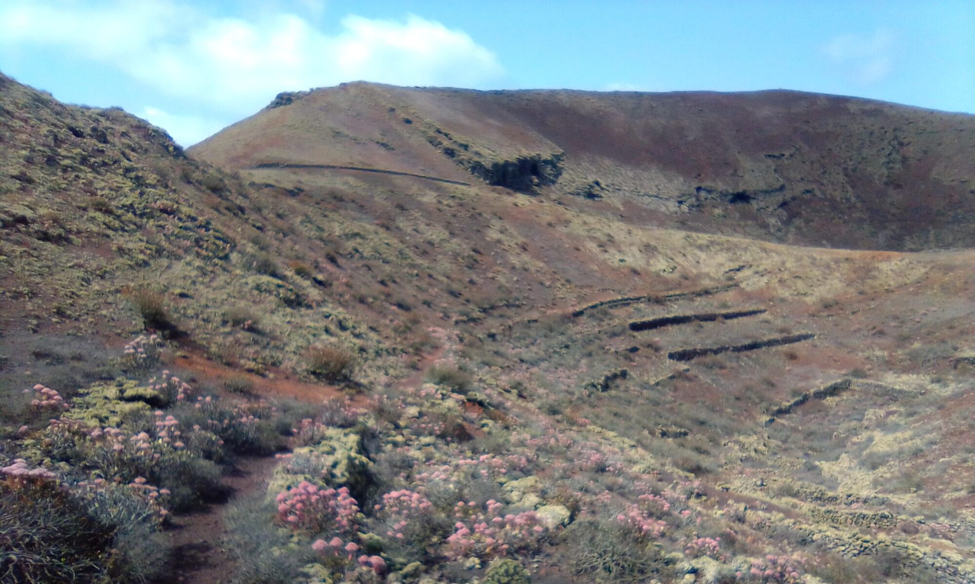
The Presa De Mala Circle walk is about 3 – 4 hours is well marked. There are a few good ascents in this one, but the views are well worth the effort. There are a couple of nice restaurants in Mala and Guatiza. At the highest point of the walk about halfway round there is Bar Restaurante Los Helechos. A Chance to explore an old abandoned Dam. Stunning mountain top views and deep ravines. As well as small farms, old water cisterns (Aljibes) and natural springs.
Directions
Follow the LZ-1 out of Arrecife. Take the first exit at the Tahiche round-a-bout and continue on the LZ-1 past Costa Teguise and Guatiza. Take the next exit signposted for Mala. approximately 6km. Third exit at the round-a-bout, under the carriageway. Straight over the round-a-bout and left after 100m onto the dirt road. After 350m bear left and park after another 300m at the base of a steep access road on the right. This access road DOES NOT GO to the head of the dam.

Click on the map image above to open a Google map of the area in a new tab.
The Walk
The walk can be shortened a little by driving up to the head of the dam. The dam access road is a right about 450m further on, but it’s a rough track all the way. Locals and glider pilots use it, but I would advise against it in a hire car.
Head up the steep access road to the water depository. Take the small rough path behind up to the top of the first ascent. Cross the dam wall to the north side of the ravine and follow the path up the second ascent. As the path becomes steeper it can get a little tricky underfoot.


At the top simply follow the path over the ridge line. As the path becomes a farm track we join the Tabayesco Circle walk for a while. Follow the farm track all the way off the mountain until it meets the LZ-10. Turn left here and follow the road for about 600m, turning left onto a dirt road.


Following this dirt road you pass some abandoned farm buildings and a number of smallholdings, cottages and a country villa called Rincón de la moza . About half down the switchbacks, look into the corner of the valley wall for an old spring.


Continue along the track past some small farms, old water cisterns and some strange features carved out of the walls of the ravine.


The road snakes it’s way down the valley following the lip of the ravine. The ravine shows evidence of old picon workings and many small ‘mini-dam’ walls. These were built to slow the passage of runoff and allow it to sink into the water-table. Areas of the barranco (ravine) floor were then used to grow crops.


Continue along the dirt road all the way back to the top of the dam. If parked at the very bottom, look to the right and there is an easy walk down the dam access road.
Presa de Mala – History
To read more on the history of water on Lanzarote you can checkout the following sites:
These sites are in Spanish, so if it helps I have made an attempt to cover some topics of interest in the History section.

