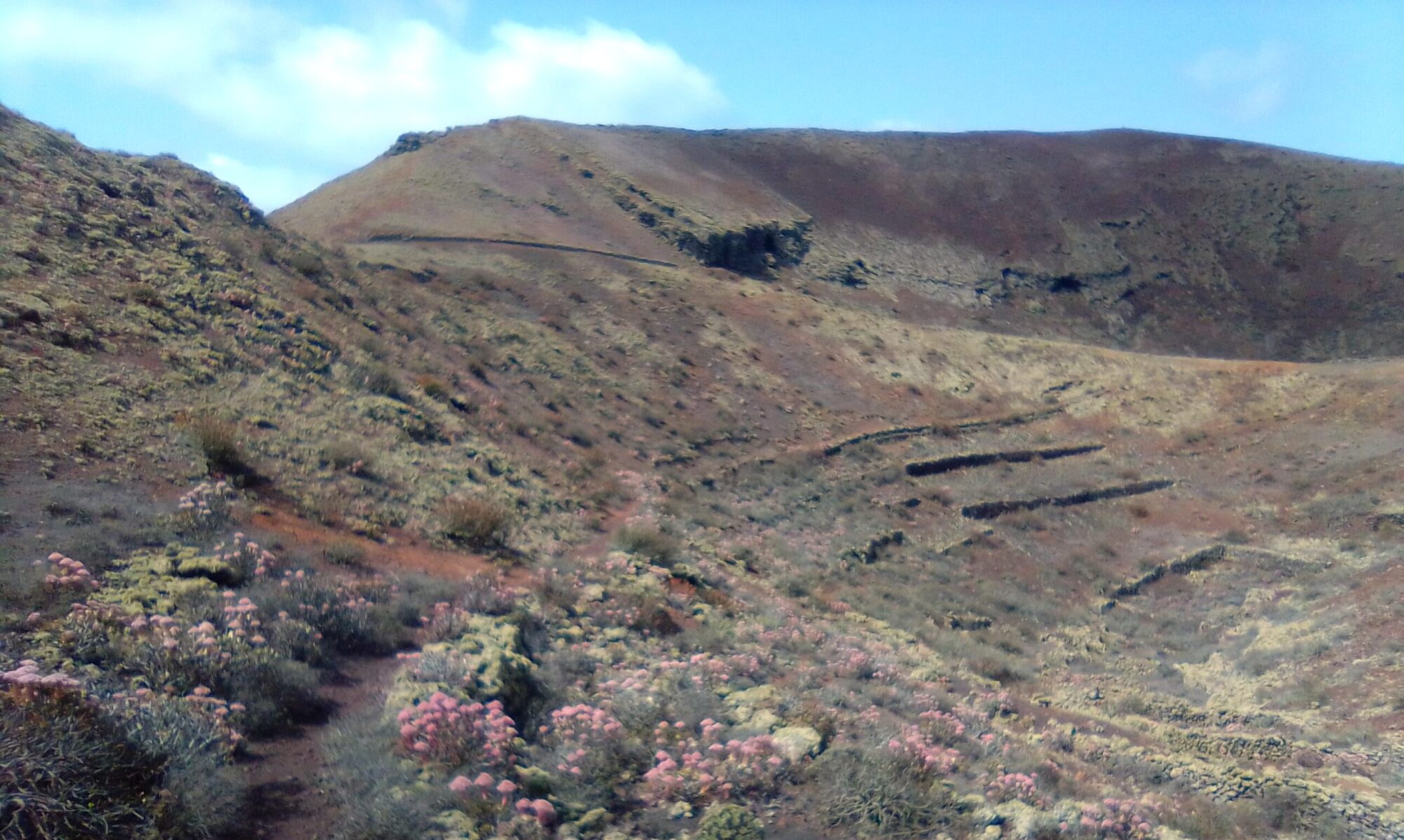
The Lalaland walk varies between 2 and 4 hours depending on the route taken. There is a mixture of mountain path descents, dirt road climbs and short sections of tarmac. There are a couple of extensions, one short and one long. The route varies between 5 and 10km.
In the centre of the village there is a small village shop which also does drinks and snacks. At the east entrance to the village there is Restaurante Volcan de la Corona, which is well worth a visit.
Directions
Follow the LZ-1 out of Arrecife. Take first exit at the Tahiche round-a-bout and continue with the LZ-1 past Costa Teguise, Guatiza and Mala. Straight ahead at the round-a-bout in Arrieta. After 320m ignore the right turn for Punta Mujeres and Orzola, continue ahead on the LZ-201. About 9km and you enter the small mountain village of Ye. Continue through the village until you reach the Iglesia de Ye (the church), I usually park here.

Click on the map image above to open a Google map of the area in a new tab.
The Walk
Just across from the church there is an old mountain road, LZ-202. Head along here, a gentle climb out of the village. The lane joins the road to Mirador del Rio, but we cross over to the dirt track opposite. About 120m there are some abandoned workings on the left and an old corral on the right immediately at the head of the barranco.
Don’t follow the dirt track north, but take the small path south east and follow the righthand finger as the bluff splits. It in doubt follow the cycle tracks and the occasional stone cairn. As you follow the finger down a gentle incline you have views left and right down into both valley floors.
Keep you eyes peeled to the left and right of the track. Notice the small rainwater carved gullies that have formed. Here you can fine man’s intervention where some of the gullies have been channelled and gated. These sluices allowed the farmers to direct runoff from one valley to another down the various ravines (barrancos). The water would then be collected and stored (aljibes) for future use.
The path meets a dirt road in the bottom of the righthand valley floor at a rental cottage called Lalaland. Turning northwest, almost turning back on yourself allows you to follow the dirt track along the valley floor.
About 200m you come to a collection of old water cisterns (aljibes). These used to collect the water diverted by the sluices we saw earlier. If you have a look around you can find a couple of inscriptions for R R Nobe, 1949 and 1961 respectively.
Ye – History
To read more on the history of the area you can check out the following sites:
These sites are in Spanish, so if it helps I have made an attempt to summarise a few topics of interest in the History section.


