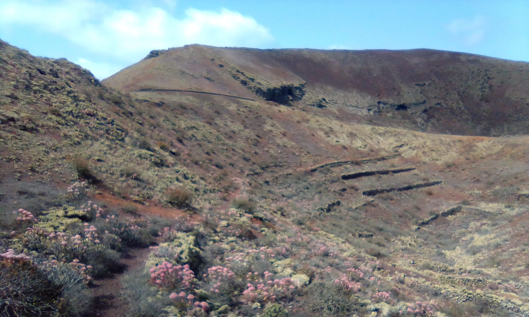
There are a number of routes for Montaña de Tinaguache. Some with hardly any climbing, some with a little climbing and one that goes up and over the top. Timing varies between 1.5 and 2 hours depending on route chosen, water breaks and stopping to admire the view.
The tracks and trails are generally well marked and good under foot. I recommend walking poles however for the walk that ascends to the rim. Care is needed on the descent.
Directions
Follow the LZ-1 out of Arrecife and take the first right at the Tahiche round-a-bout. Continue on the LZ-1, taking the exit for Costa Teguise (LZ-14). At the bottom of the hill, turn left into Calle la Atalaya. I park on the brow of the hill opposite a small path on the left.
If staying in Costa Teguise, from the round-a-bout (Av. del Mar / Av. del Jablillo), take the north west exit and bear immediately right to join Av. de las Palmeras. Take the left turn signposted for Guatiza onto Calle Ruta del Norte. This becomes Calle la Atalaya, I park on the brow of the hill opposite a small path on the left.
Click on the map image above to open a Google map of the area in a new tab.
Montaña de Tinaguache Walks
White Route
The White Route is the easiest. Hardly any climbing at all and makes for a nice leisurely stroll for the whole family. Cross the road onto the small path. The path follows a stone wall on the right. Take the path on the right through a gap in the wall. Follow this path down and across the floor of the valley. The path climbs gently through a small fold and up onto the shoulders of Montaña de Tinaguache.


Keep to the path as it circles the volcano, turning left onto a cycle track. This is the northern side and takes us between Tinaguache on your left and Las Montañetas de Téjida on your right. This section is very popular with Mountain Bikes, known as the Roller Coaster.
About 300m after joining the cycle route, look to your left for a path to take you further up the shoulders of Tinaguache, away from the bikes and runners. Continue around the volcano, eventually returning to the starting point.


Yellow Route
The Yellow Route is again fairly easy, with just a 20m scramble up to the shoulder about half way round. The views however make the scramble worth while. You do not ascend to the rim, but walk a goat track all the way round the shoulder of the mountain.
Continue around the volcano, eventually returning to the starting point. Keep your eyes peeled for; Goats, Kestrels, Rabbits, Red Legged Partridge, even the odd sheep or two.


Blue Route
You can start with either the White or Yellow routes. It is quite a steep scramble up a cobble path to the rim. The views from the top are stunning and the walk round the rim is exhilarating.

The descent can be tricky and is very steep in places. Which is why I recommend walking poles for this section. Once down, simple follow the White Route back to the start.
Costa Teguise – History
To read more on the history of the area you can checkout the following sites:
The sites are in Spanish, so if it helps I have made an attempt to summarise a few topics of interest in the History section.
Click to leave a Google Review


