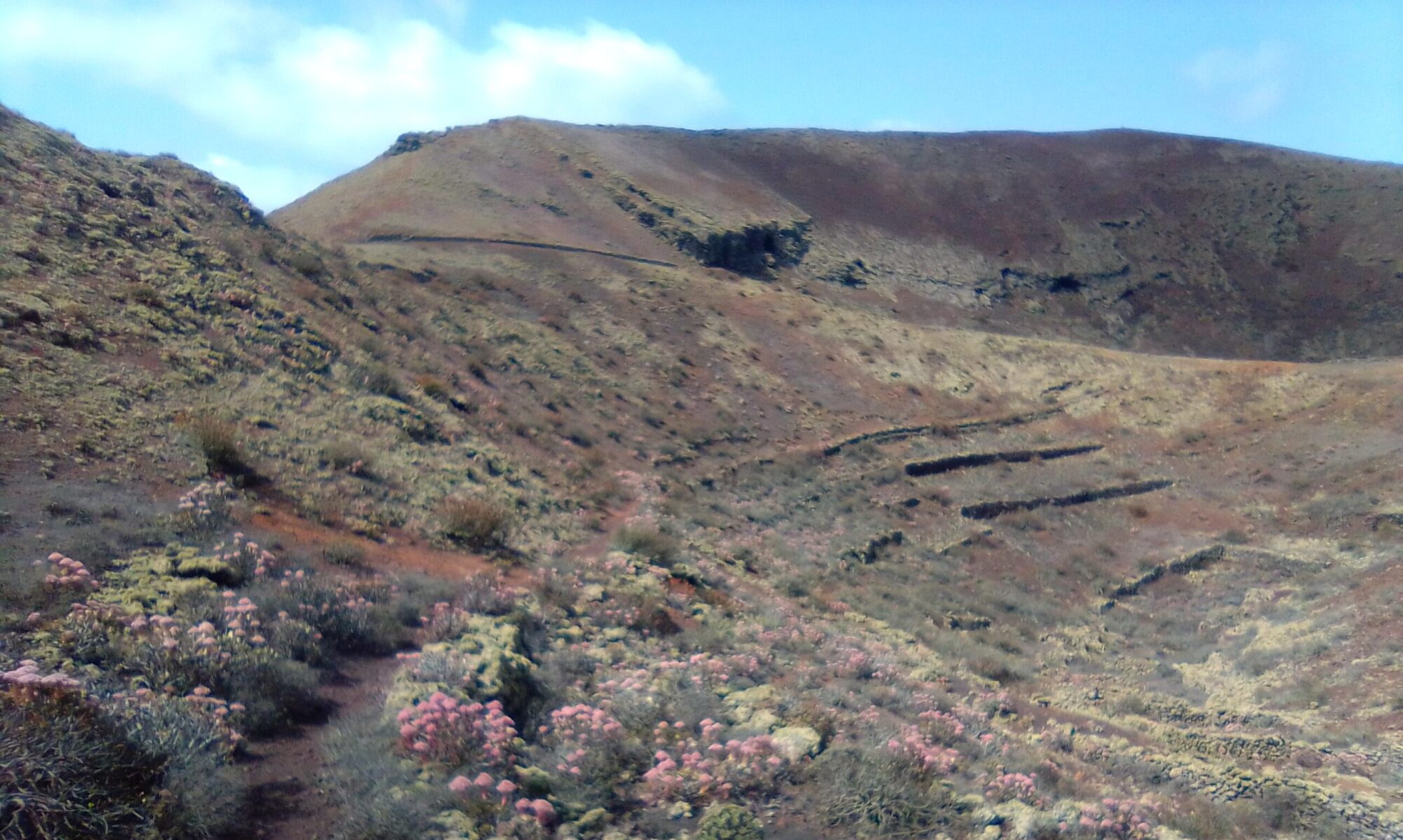
As you near the 180o mark of Montaña Tinache, the water channel comes to an end and you are left to follow a much smaller path. Continue until you come out on the opposite side of the crater rim from where you started.
From here follow the switchback path that leads down towards the base of the volcano. At the bottom the path turns again, continuing clockwise round the bottom edge of the caldera.


As you continue around the base of the volcano you find another abandoned water cistern. You can see here where they marked the water depth on one of the pillars, together with a date of 1929.
From here simply follow the path keeping the volcano cone on your right shoulder. You are approximately two thirds of the way round. There is a gentle climb to a small promontory and a final fold in the mountain side. Eventually you come to a small holding and a farm track back to the road and the start point.
Montaña Tinache – History
To read more on the history of the area you can checkout the following sites Tajaste and Tinajo.
The sites are in Spanish, so if it helps I have made an attempt to summarise a few topics of interest in the History section.
Click to leave a Google Review


