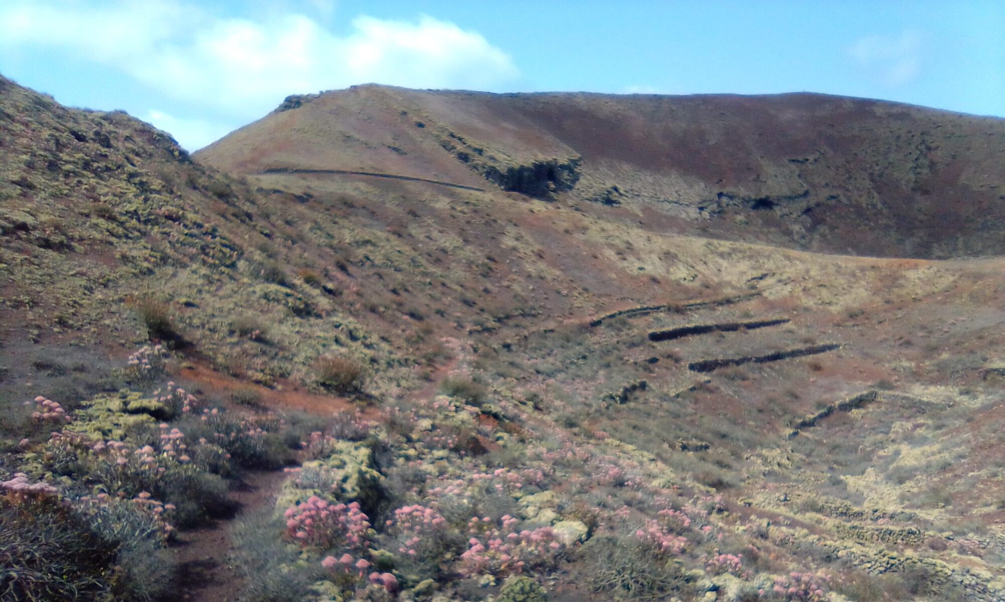
Cueva de Ortiz is an easy walk just a couple of hours or so. The route is flat and well marked, approximately 5km. There are two coffee and cake options here, the Asador Grill Tinguatón or the Teleclub de Masdache.
Directions
Follow the LZ-30 from Teguise, straight over at the Casa-Museo del Campesino round a bout heading down through La Geria for Masdache. Once through the village take the next turning on the right for Tinajo, LZ-56. After about 5.5km you see a car park on the left, Parque Natural De Los Volcanes, just before the village of Tinguaton.

Click on the map image above to open a Google map of the area in a new tab.
The Walk
Cross from the car park to where Camino Tisalaya runs off at about 45° to the main road. This first section takes you through the lava field towards Montaña Ortiz. As you approach its base take the left fork. You will retrace your steps to this point later after visiting the cave.
The Cave is about 500m along this left fork, after about 300m you see a signpost for Montaña Testeina and Los Bermejos. Follow the sign for Los Bermejos, and the Cueva de Ortiz is about 200m further on, set back a little from the track on your left. If you come to the T junction at the base of Montaña Cardona, you’ve missed the cueva by about 50m.
After the Cueva, retrace your steps to where you first arrived at the base of Montaña Ortiz. Cross the small parking / turning area and continue ahead onto the loose picón path heading west. The path winds around the base of Montaña Ortiz before popping out onto the LZ-56.
Depending on the time of year you can see many interesting plant species including lots of wild geraniums. There are also lots fig trees, some still protected by their lava rock walls.
Cross the LZ-56 to find another dirt path that takes you back through the lava field to the car park.
Other walks in this area are Caldera de Catalina and Volcán Templo, Montañas Cardona & Ortiz Circle.


