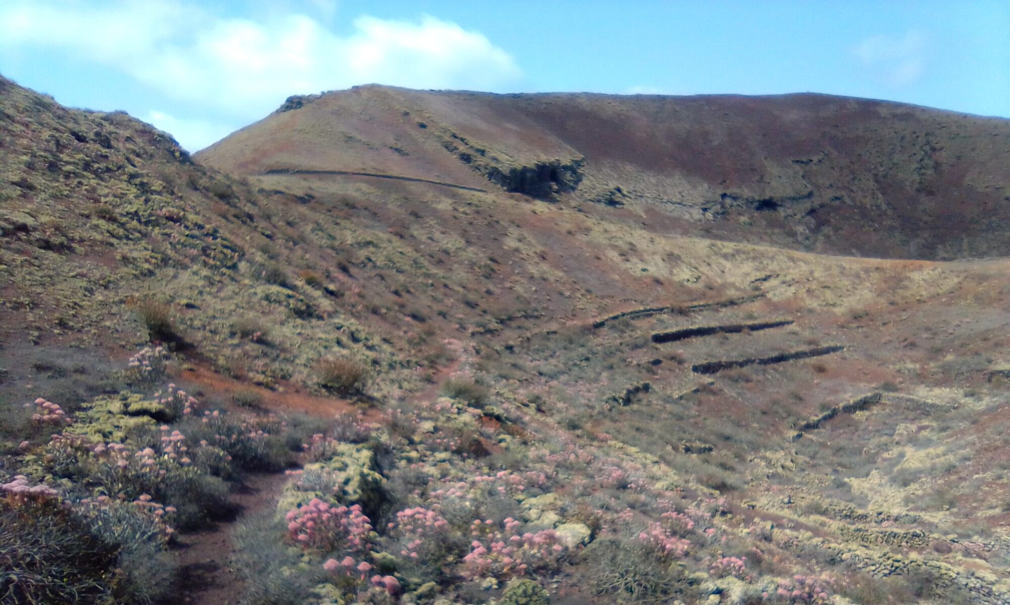

This is quite an easy walk between Calero and Quemada. There are no really steep climbs and it is dirt track or coast path all the way round. Unless stopping for lunch in Playa Quemada it only takes about 90 minutes to walk over and back.
Directions
LZ40 or LZ2 for Puerto Calero and follow the signs for Secrets Hotel. Take the service entrance to the rear of the hotel, there is a rough ground parking area towards the cliff top next to the start of the dirt track over to Playa Quemada.

Click on the map image above to open a Google map of the area in a new tab.
The Walk
I started with the dirt track heading over to Playa Quemada and came back via the coastal path. Nice views of Puerto Calero and Quemada village and the Los Ajaches mountain range.


The Carlero – Quemada walk offers a few options for lunch or just coffee and cake. Puerto Carlero is quite a bustling marina with lots of food and drink options. Playa Quemada hosts a couple of nice restaurants right at the sea’s edge, google them first however, because at the time of writing, one of them was reservations only.
Another option for the Carlero – Quemada walk is the Tele Club in Macher, on the LZ2 between the petrol station and the church.
History
Playa Quemada—translates as “Burnt Beach” due to the black volcanic sand beaches. It is an old sleepy fishing village on the southeastern coast of Lanzarote, at the base of Montaña de Los Ajaches.
Los Ajaches is the oldest geological formation on Lanzarote. During the Miocene Epoch around 15 million years ago (Ma) eruptions produced a large shield volcano forming an island centred around Las Breñas and Femés. This Los Ajaches Volcano eventually reached some 1.5 km in height.
Ajaches’ main erosional period ran from between 6 and 2.3 Ma, creating the steep valleys, ridges and gently dipping Miocene lavas we see today.
You might also like to check out a few topics of interest in the History section.