Arrieta Circular Walk

The Arrieta Circular Walk is about 2 hours. The short section up on to the ridge is quite steep, but well worth the effort for the views from the top. The trail is good under foot and easy to follow, but I recommend walking poles for the descent.

Arrieta Circular

Depending on parking option this is either a 4km or 7km walk.

For the short walk, park by the Water Depot on the LZ-10.

For the longer walk, park in Arrieta, just off the round-a-bout, opposite the school.

Click the image to open the full walk description in a new tab.

Arrieta Circular Walk – History

To read more on the history of Arrieta and the surrounding area you can checkout the following sites:

The sites are in Spanish, so if it helps I have made an attempt to summarise a few topics of interest in the History section.
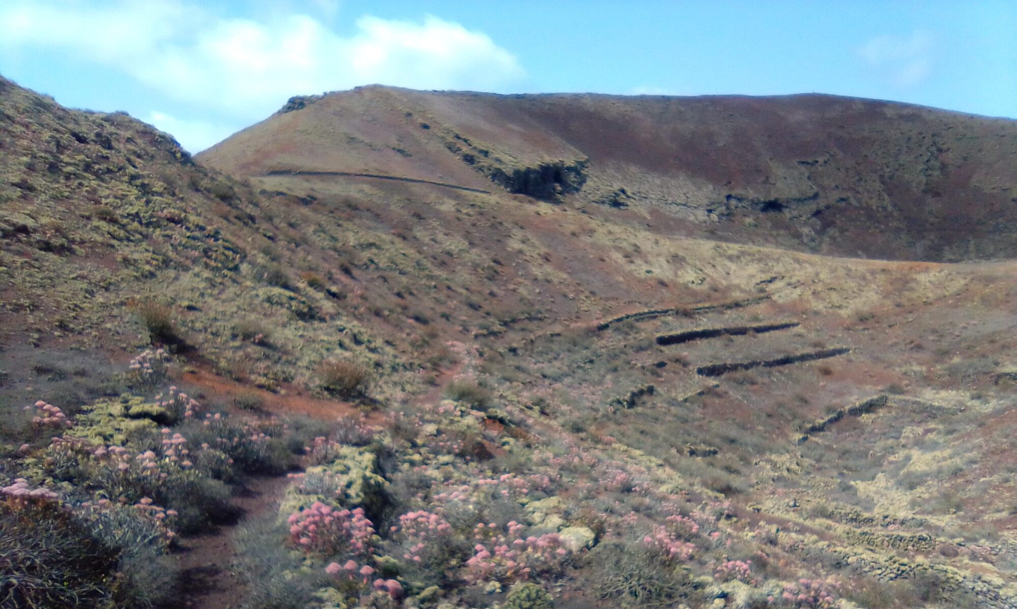
Arrieta Haria Circular

Arrieta Haria Circular

The Arrieta Haria Circular walk is between 3 and 4 hours. There is one ascent section, but it is not steep. The trail is good under foot and easy to follow.

Arrieta Haria Circular

The walk takes you up onto the Haria Plateaux, past many farms and small holdings.

Click the image to open the full walk description in a new tab.

As you enter Haria, explore Barranco Tenesia Tres Barrancos. Visit the old abandoned Aljibe deep in the barranco, built by Pedro Lasso Mendez in 1958.

Past the Haria Cemetry and follow the track as it winds in and around the folds of the many ravines that cut into the hillside. Enjoy the views down into the village of Tabayesco as you head back towards the coast.

Heading back towards Arrieta you pass a number of small farms and more abandoned water systems.

Arrieta Haria Circular – History

To read more on the history of Arrieta and the surrounding area you can checkout the following sites:

The sites are in Spanish, so if it helps I have made an attempt to summarise a few topics of interest in the History section.

Other Walks

Other walks in this area are:

Femes RHS Circular

Femes RHS Circle

Femes RHS Circular is a walk which offers fantastic views of Playa Blanca, Yaiza, Uga and back towards Timanfaya. It starts from the historic church of San Marcial del Rubicón with an ascent to the antenna farm. The route then takes us across the ridge line to Caldero Riscado and then circles back to the village.

Femes RHS Circle

There are a number of great restaurants in the village, which is famous for its goat’s cheese.

Click the image to open the full walk description in a new tab.

The church of San Marcial del Rubicón is well worth a visit. Its interior walls are inset with models of family fishing boats. Placed there in honour of the strong connections the islanders have to the sea.

Femes RHS Circular – History

To read more on the history of Femes and the surrounding area, you can checkout the following sites:

The sites are in Spanish, so if it helps I have made an attempt to summarise a few topics of interest in the History section.

Other Walks

Guatiza Los Valles Mojón

Guatiza, Los Valles Mojón

The Guatiza Los Valles Mojón walk is a little over 10km and well marked. There is quite a sharp ascent up onto the ridge line, but the views are fantastic. It took me roughly 3 – 4 hours with photo ops and water breaks.

Roughly half way round there is an opportunity to take a break at Restaurante Mirador de Los Valles.

This is more or less the highest point of the walk, so you don’t have to worry too much about that piece of cake or Tapas lunch.

Click the image to open the full walk description in a new tab.

History – Guatiza Los Valles Mojón

To read more on the history of the area you can checkout the following sites:

The sites are in Spanish, so if it helps I have made an attempt to summarise a few topics of interest in the History section. For instance, did you know that Guatiza isn’t where it used to be and isn’t what it used to be called.

Another walk in this area is Guatiza Montaña Calderetas.

History – Water Galleries of Montaña Blanca & Guatisea

Water Cisterns

The Montaña Blanca & Guatisea water cisterns, collection channels, sluices and pipe work once fed water to the towns of San Bartolome and Tais. Before the arrival of the desalination plant, the people of Lanzarote were totally dependent on the collection and storage of rain water.

Montaña Blanca Circle

The island has many examples of large scale feats of hydrological engineering.

Click on the image to open the Montaña Blanca & Guatisea History page in a new tab

Some areas like Haria were lucky enough to have access to artesian wells or springs. At one time the water for Arrecife was extracted and piped from an aquifer beneath the Famara Massif.

Each house or small community would have its Aljibe (water cistern), but when these ran dry, strings of camels were used to deliver barrels of water. In times of severe drought relief was sought from other islands.

La historia del agua en Lanzarote is a great site to learn more about the islands struggle for water. Just click on the dates to explore the timeline.

Montaña Blanca Circle

Montaña Blanca Circle

The Montaña Blanca circle is roughly 5km and took me about 3 hours with photo ops and water breaks. The initial ascent is quite steep, it starts off as a good dirt road, but the final section is very steep and loose gravel under foot. The descent is a narrow path, a little awkward in places, but no real dramas. I would however recommend a walking pole for the down hill sections. The route is mostly well marked with San Bartolome trail markers and GR-131.

There are striking views throughout this walk. Towards the coast, down into the village of Montaña Blanca and the vineyards of LaGeria.

To read more on the history of the water cisterns in the area, you can check out the following site:

The site is in Spanish, so if it helps I have made an attempt to summarise a few topics of interest in the History section.

San Bartolome Walk

San Bartolome

This San Bartolome walk is mostly level, some gentle dirt road uphill sections and one short picon scramble. The route is roughly 4.5 – 5km, well marked and generally takes about 2.5 hours with photo ops and water breaks.

You can combine this walk with a visit to Casa-Monumento del Campesino.

It’s a great place to visit, island history, gift shop and craft centre, many of which you can try your hand at. The centre also has a great restaurant.

Lanzarote can be a completely different island after a little rain. To illustrate the point I made the exact same walk just a few months later. So don’t forget to follow the link at the end of the walk to see the difference a little rain makes.

Click the image to open the full walk description in a new tab.

Montaña Calderetas – Guatiza

Guatiza Montaña Calderetas

Guatiza Montaña Calderetas is a hike through the foothills of a series of ancient volcanoes. The walk has a couple of short, but steep sections. The path however is not always easy to find. The climb to the volcanic rim affords stunning views to the coast and out over the fertile valley floor.

Guatiza Montaña Calderetas

The walk can be combined with a visit to the Cactus Garden, which has a small restaurant. For a touch of authentic village life however I recommend a visit to Bar Bulin near the centre of the village.

Click the image to open the full walk description in a new tab.

Guatiza Montaña Calderetas

Did you know that Guatiza isn’t where it used to be and isn’t what it used to be called, intrigued? I have a small write up in the History section if you’d like to know more. The website Historia de Teguise has a lot of additional information about Guatiza and its history.

There are a number of walks in the Guatiza area. Mostly starting from either the Cactus Garden or the Petrol Station on the outskirts of the village. From the Cactus Garden you can make very easy walks only 1 – 2 hours looping into Mala. Also a circular walk around the base of Montaña Calderetas, no hills and dirt roads all the way.

From the Petrol Station there are a host of flat, circular walks of varying length taking in sections of the costal path.

Guinate and Los Helechos

Guinate Loa Helechos

Guinate and Los Helechos is a great hiking area. There are a number of ways to make circular walks, generally all of about 2 – 3 hours. The first route described is great for families. There are also a number of picnic spots along the way.

Guinate Loa Helechos

Sweeping clifftop views out to sea towards La Graciosa. Volcanic craters and panoramic views over the north of the island.

There are a number of bars and restaurants in Maguez and Haria. One of my favourites however, is Restaurante Volcan de La Corona in Ye. To read more about the history of the area you can checkout the Historia de Haria website.

The Historia de Haria website is in Spanish. If it helps I have summarised in the History section a few topics of general interest. Under Guinate you can read about the “Risqueros de Guinate”, a very brave and intrepid people.

Click the image to open the full walk description in a new tab.

Presa de Mala

Presa de Mala

The Mala Dam (Presa De Mala) circular walk is a good 3 – 4 hours, but well marked. There are a few good ascents in this one, but the views are well worth the effort.

Presa de Mala

A Chance to explore an old abandoned Dam. Stunning mountain top views and deep ravines. As well as small farms, old water cisterns (Aljibes) and natural springs.

There are a couple of nice restaurants in Mala and Guatiza. At the highest point of the walk about halfway round there is Bar Restaurante Los Helechos.

Read more on the history of the Presa de Mala.

Click the image to open the full walk description in a new tab.