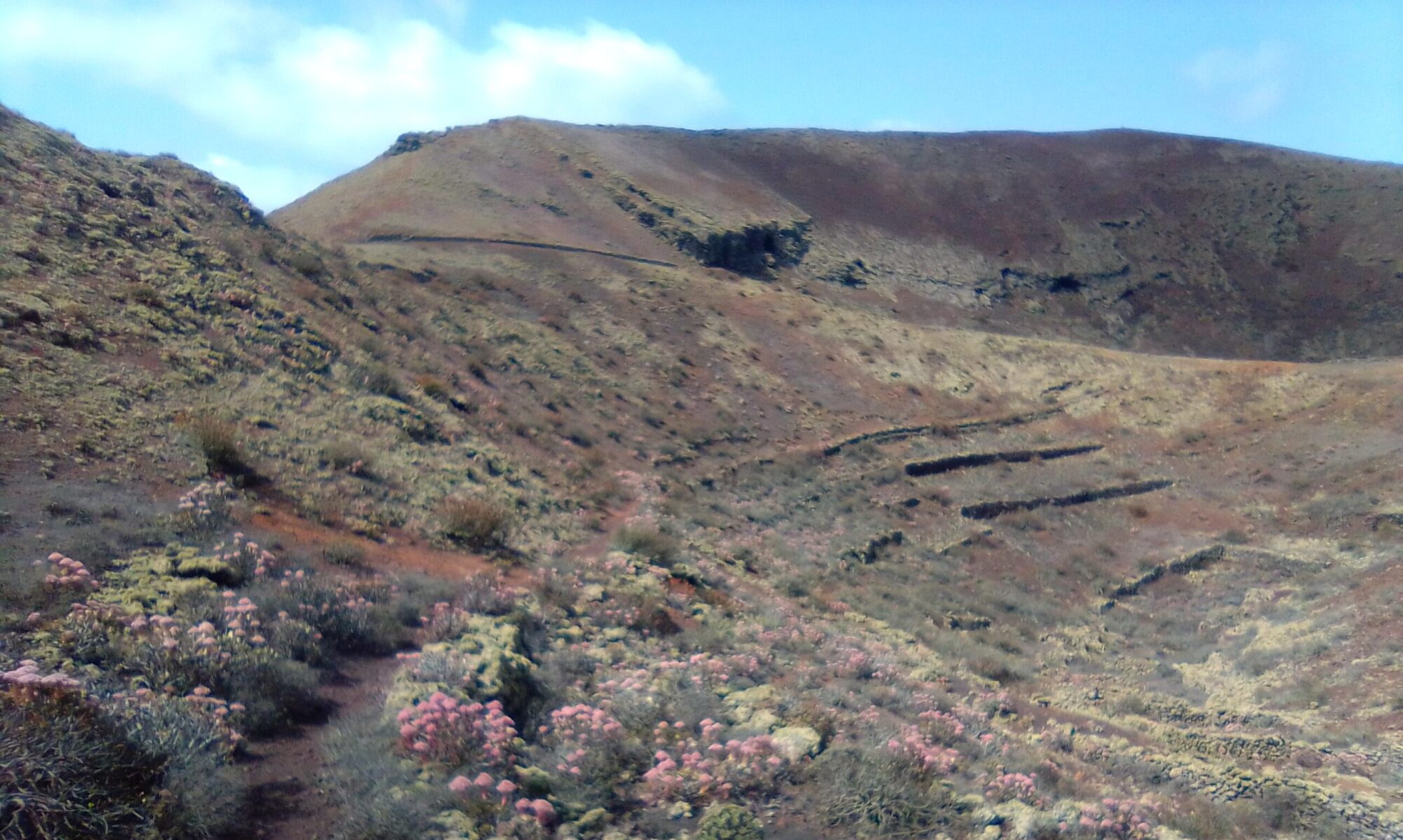
There are two walks in the La Geria and Uga area from the same starting point. Walk 1 has a very awkward section marked by a yellow diamond on the accompanying map. It is quite a steep scramble up a loose picón slope to the rim of Montaña Tinasoria. It is not an official trail, but once on the rim you are back on an official path. The views from the top are definitely worth the effort, covering La Geria and the southern reaches of the island.
Walk 2 is the shorter of the two, never leaves the official trail and is well marked paths or dirt roads all the way.
The crater rim of Montaña Tinasoria offers panoramic views over the entire southern reaches of Lanzarote. There are also some interesting ruins and the remains of a quite extensive water catchment, storage and distribution system.


Click the button below to open a full description of the walks in a new tab.
La Geria & Uga – History
To read more on the history of the area you can checkout the following sites:
The sites are in Spanish, so if it helps I have made an attempt to summarise a few topics of interest in the History section.
Click to leave a Google Review

