

This second walk for Los Helechos Guinate offers some stunning views from the crater rims. There is a short pull up onto the lip of the crater, but well worth the effort.
Directions
As for Route 1, except Instead of parking at the Sociedad, immediately you make the turn into the village off the LZ-201, take the dirt track on the left. There is a noticeboard here explaining about a route between Guinate and Maguez, over the mountain road (Ruta de Fuentes). I take this dirt track to the top and park in the picnic area on the right.
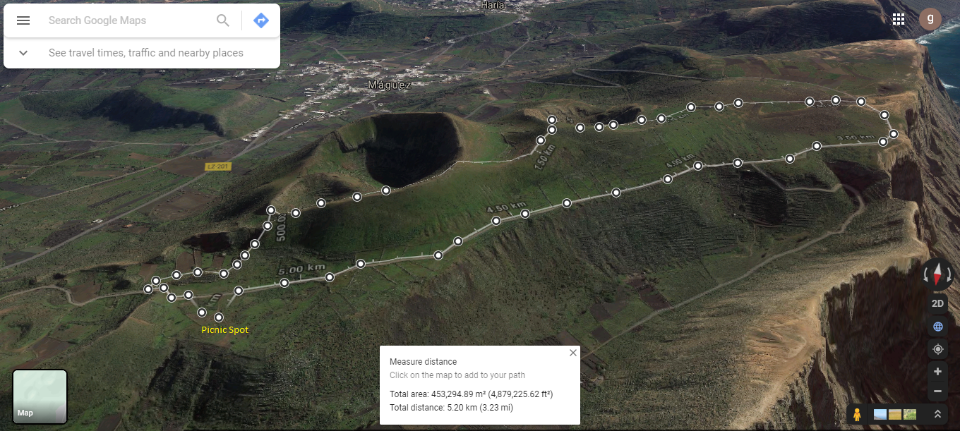
Click on the map image above to open a Google map of the area in a new tab.
From the picnic area, retrace your route a little until you see a small stone path leading up towards the volcanic craters. Note the blue dotted line on the map below.
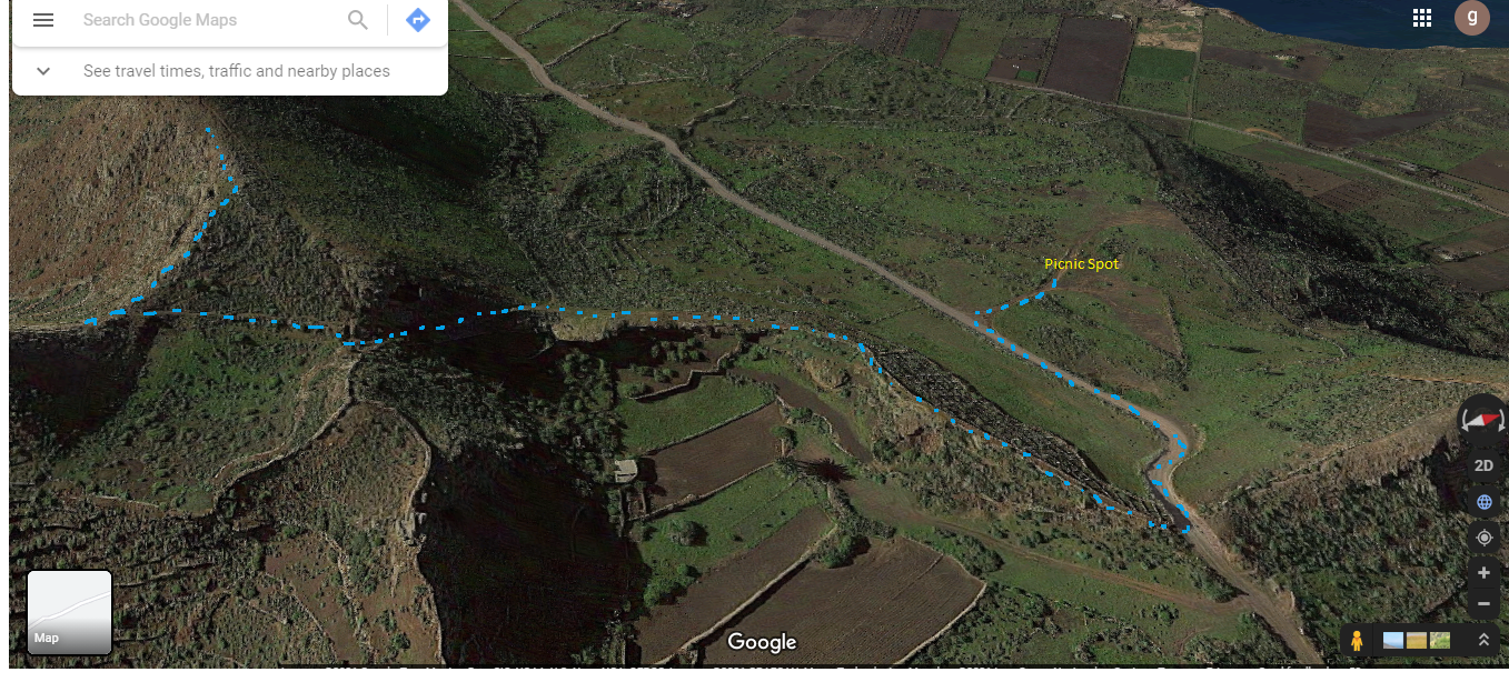
Click on the map image above to open a Google map of the area in a new tab.
The path follows the volcanic rims of a number of small craters before leading off the volcanic slopes to re-join Calle la Caldera at what I think is a weather station.


Turning right onto the dirt road will bring you to the clifftop views over the Famara Massif, out towards La Gracisoa and back towards Caleta de Famara.
The track continues past the Fuentes de Gayo, an old water source. There are several notice boards along the track describing the views and history of the area. Don’t take the steep left-hand track down by the Fuentes de Gayo and the small white farm house. Continue on the track ahead, which leads all the way back to the picnic area.


Los Helechos Guinate History
The Historia de Haria website has lots of information about the area. In particular there are articles about the village itself and the Risqueros de Guinate.
These sites are in Spanish, so if it helps I have some topics of interest in the History section.