GR-131 Update

GR-131

Some time ago, I discovered that the GR-131 had been blocked by a vineyard development just south of San Bartolomé.

Path Closed.

La Voz- la reapertura del camino rural GR-131

As of 1st of July 2025 according to a La Voz article this problem has been resolved. https://www.lavozdelanzarote.com/actualidad/politica/san-bartolome-logra-acuerdo-reapertura-camino-rural-gr-131_236073_102.html.

El alcalde de San Bartolomé, Isidro Pérez.

The mayor of San Bartolomé, Isidro Pérez

El alcalde de San Bartolomé, Isidro Pérez, explicó que se ha trabajado de la mano con el propietario de la parcela de titularidad privada, ya que se entendía que el cierre del camino era en perjuicio al interés general

El Ayuntamiento de San Bartolomé ha logrado un acuerdo para la reapertura del camino rural GR-131, un sendero ubicado en la zona de la Montaña Guatisea, en San Bartolomé, que forma parte a su vez del sendero más largo y uno de los más transitados de Lanzarote

En ese sentido, ambas partes han considerado oportuno y por ello convienen el contrato de cesión de uso gratuito por parte del Ayuntamiento de San Bartolomé, abriendo paso a que el GR-131 vuelva a estar operativo.

The mayor of San Bartolomé, Isidro Pérez, explained that they have worked hand in hand with the owner of the privately owned plot, since it was understood that the closure of the road was detrimental to the general interest.

The San Bartolomé City Council has reached an agreement to reopen the GR-131 rural trail, a path located in the Guatisea Mountain area of ​​San Bartolomé, which is also part of the longest and one of the busiest trails in Lanzarote.

In this regard, both parties have deemed it appropriate and therefore agreed to the free use contract granted by the San Bartolomé City Council, paving the way for the GR-131 to become operational again.

Revisiting the walk

I walked the route on the 8th of July 2025. Although an opening had been made in the fence, it wasn’t very official-looking. Posts had been ripped up and left scattered on the ground, and no official signage. Also, if you walk from the C. Timanfaya direction, there are still signs declaring no through route. This despite the path marked with the official GR-131 route sign.

  • GR-131
  • GR-131
  • GR-131
  • GR-131
  • GR-131

I will be making a return visit shortly to see if the situation has improved.
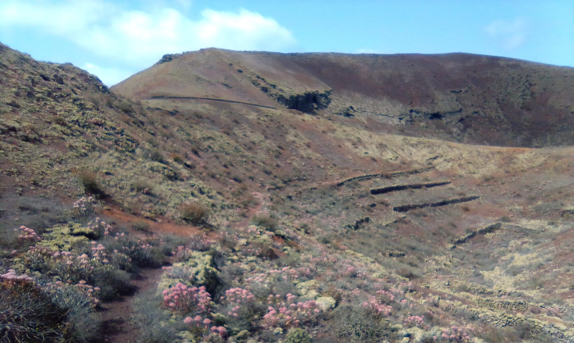
Los Ancones Walk

Los Ancones

The Los Ancones Walk is a fairly easy walk of about 5.5km. It’s mostly a rocky cliff top route affording beautiful views of the NE coastline.

Los Ancones

There are many tracks and trails in this area between Los Ancones, Guatiza Garage and Los Cocoteros. The trails are great for mountain bikes as well as hiking.

Los Ancones Walk – History Links

To read about the local history of Los Ancones and the surrounding area click the link here. The sites are in Spanish, so if it helps I have made an attempt to summarise a few topics of interest in the History section.

Montaña Cardona Walk

Montaña Cardona Walk

The Montaña Cardona Walk is a small section of the larger Volcán Templo, Montañas Cardona & Ortiz Circle. It is an easy to follow walk, with little or no climbing and good under foot.

Montaña Cardona Walk – Natural History

This walk is fascinating. You start through the stark lava flows of the 1730 eruptions and then as you circle Montaña Cardona itself you start to notice the most amazing flora.

After the Walk you have a number of options for coffee and cake or a spot of lunch. There are the villages of Masdache and Las Vegueta & Yuco. There is also Casa Museo del Campesino.

Teguise Lime Kiln Circle

Teguise Lime Kilns

Teguise Lime Kiln Circle, a fairly easy walk just under 4.5 km. Very little climbing, but still affords some lovely panoramic views. The walk takes in the the historic Lime Kilns of Teguise.

Teguise Lime Kiln

At the turn of the century these Lime Kilns were at their height. The lime extracted had many uses. In paints for the houses, waterproofing the aljibes (water storage), soap making and water purification.

Teguise Lime Kiln Circle – History

To read more on the history of Teguise and the surrounding area you can checkout the following sites:

The sites are in Spanish, so if it helps I have made an attempt to summarise a few topics of interest in the History section.

Haria Barranco Elvira Sanchez

Haria Barranco Elvira Sanchez

Haria, Barranco Elvira Sanchez is a circular walk of about 3 – 4 hours, between 7 and 10km depending on route.

The hike up the Barranco itself is quite steep, but there are plenty of places to stop and admire the view.

At the top enjoy the stunning views from the Risco down towards Caleta de Famara.

The way back down is via part of the GR-131 Camino Natural de Lanzarote, a little steep in places, but much easier to descend than the Barranco.

After the climb there is the Restaurante Los Helechos for a coffee / lunch. And then, it’s down hill all the way back to the start.

Haria Barranco Elvira Sanchez – History

Historia de Haria is a good site covering the general history of the area.

There is a History section on this site if you are interested in learning more about this fascinating island of Lanzarote and its people.

Montañeta de Chimida – Barranco de la Horca

Montañeta Chimida - Barranco Horca

The Montañeta de Chimida – Barranco de la Horca walk is about 4.5 kilometres, but there are a couple of extensions you can choose. It is a relatively steady walk, although the section along the rim of the barranco is quite narrow with steep drops down to the floor of the ravine. It looks to be a popular mountain bike route and not ideal in windy conditions.

There are many places for coffee and cake or indeed a spot of lunch in Teguise. A popular spot for hikers and cyclists alike is jonniebakes. Great for large Cappuccinos and a variety of tasty cakes and pastries, plus they do a cracking Cornish pasty.

Montañeta de Chimida – Barranco de la Horca – History

To read more on the history of Teguise you can checkout the following sites:

Some of these sites are in Spanish, so if it helps I have made an attempt to summarise a few topics of interest in the History section.

Presa de Mala Circle (Mala Dam)

Mala Dam

The Mala Dam Circle is a good 4 hours and there is quite “a lot of up” as my walking companion put it and she is not wrong. The effort is well rewarded however with stunning views and a definite sense of achievement at the end.

Not recommended for hire cars, but there is a dirt road that runs up to the top of the dam wall (C. Pleamar). This is where I parked and we were most grateful to save a few thousand steps at the end of the walk.

The walk takes you up onto the ridgeway with great views down into the two valleys. On the left-hand side facing west you have Baranco Valle del Palomo. On the right-hand side facing west you have the Tabayesco valley. The route emerges briefly onto the LZ-10 before beginning its descent down C. Pleamar back to the Dam.

Water Secrets

At the top of the climb from the dam you can look down onto La Fuente De Chafariz. As you circle back down the dirt track C. Pleamar you find an old spring which you can imagine as being opposite the upper water extraction tunnels of La Fuente De Chafariz.

Spring just off C. Pleamar, Baranco Valle del Palomo. Appears to opposite side of the mountain to La Fuente De Chafariz.

Disused water extraction tunnel above La Fuente De Chafariz in Barranco del Chafariz above Tabayesco.

Mala Dam Circle- History

To read more on the history of water on Lanzarote you can checkout the following sites:

These sites are in Spanish, so if it helps I have made an attempt to cover some topics of interest in the History section.

Volcàn Templo La geria June 2023

Volcàn Templo June 2023

A return visit to the Volcàn Templo La geria area including Montañas Cardona and Cueva de Ortiz. The walk is a good a good 3½ hours or so, mostly flat and for the most part well marked.

All considering we have had quite a dry winter and spring, so we were quite supprised on our return to this area with the variety of plant life flourishing.

We found grapes of course, but also mulberry bushes, guava, figs and tomatoes, all growing and fruiting well with no irrigation mechanisms.

For those interested in identifying the various plants you find on a walk, I have found this web site quite helpful, plantnet.org.

A collection of excellent books about the nature of Lanzarote, naturalanza.com

Volcàn Templo La geria – History

To read about the history of the area and the small village of Uga, you can checkout the following sites:

The sites are in Spanish, so if it helps I have made an attempt to summarise a few topics of interest in the History section.

Haria Temisa Walk May 2023

Haria Temisa

The Haria Temisa walk is about 5.5km, 2 – 3 hours and is well marked. There is a bit of a climb in the middle section and the path is quite narrow in places, but well worth the effort. Views back towards the coast, and down into both the Tabayesco and Haria valleys.

We had a beautiful spring day, clear skies, light breeze and a coffee and cake stop at Bar Cafeteria El Rincón de Quino.

Haria Temisa – History

To read more on the history of Haria you can check out the following site:

The site is in Spanish, so if it helps I have made an attempt to summarise some topics of interest and historical events in the History section.

Baranco de la Poceta Top Section Walk May 2023

Another visit to the Baranco de la Poceta Top Section walk and of course the obligatory coffee and cake stop at Bar-Restaurante Los Helechos. The route is easy to follow and takes between 2 – 3 hours depending on water breaks and photo ops.

The walk offers stunning views over to Famara, El Jable and the NE of the island. Click on the button below to open a full description of the Walk in a new tab.

Barranco de la Poceta Top Section – History

There is a growing History section which you can check out on the web site. Also you might find the following links of interest.