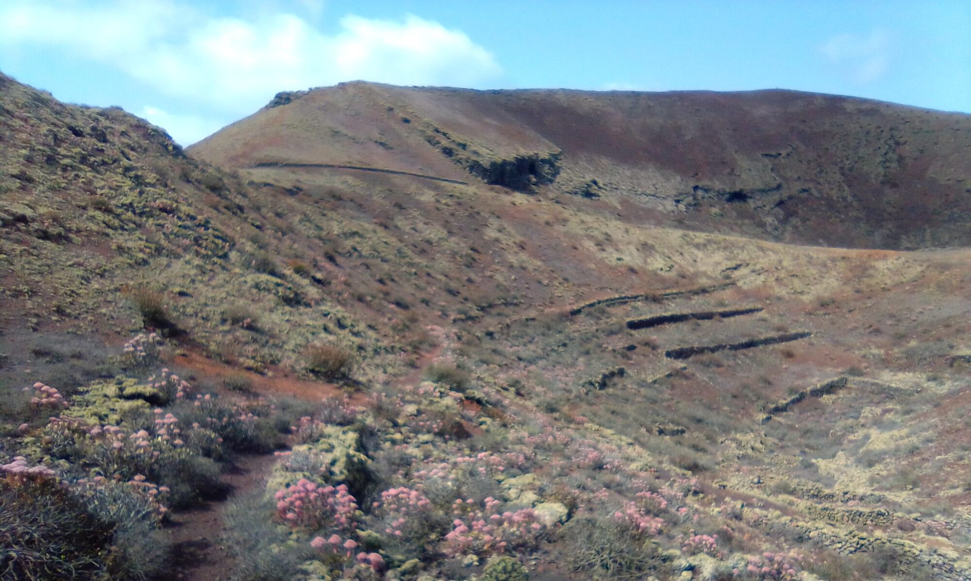
The Volcán Templo walk continues.
At the far side of the crater you find a path that drops you down onto Camino las Quemadas.
The second option is to continue around the base keeping the hillside on your left. The lava field on your right soon gives way to farm land and a path / track onto Camino las Quemadas.
Follow Camino las Quemadas east up the rise and past a small holding on your right and take the first right. Look out for the many crop fields and grape vine plantations.
Continue past a gated lane on your left and about 115m on bear right off the main track and follow the path round the bottom of the hillside which starts to appear on your left.
You should now have rough lava flow on your right and planted fields reaching up the hill side on your left. These fields eventually give way to a sparsely shrub covered hillside as you make your way round the base of the volcano. Walking along the edge of the lava flow watch out for fig trees and chestnut trees.
The path comes out on to Camino Tisalaya. Head west directly towards Montaña Cardona. After 250m you will come to a fork, the main route runs anticlockwise round Cardona, whilst the lesser path circles clockwise. Either way you end up at the same place, Cueva de Ortiz.
After the cueva, continue on Camino Tisalaya, ignoring any smaller trails until the dirt road brings you back the the carpark.
Other walks in this area are Caldera de Catalina and Cueva de Ortiz.
Volcan Templo Walk – History
To read more about the history of the island you can check out Historia de Teguise and Historia de Haria websites. The sites are in Spanish, so if it helps I have tried to summarise a few topics of interest in the History section.


